Himalayas formed one of the most glamorous and youngest ranges in the world. They lie between the Indo-Gangetic Plains, in the south and the Tibetan Plateau, in the north to create a natural barrier that defends the Indian subcontinent.
These mountains had been created millions of years ago as a result of collision of the Indo-Australian Plate with the Eurasian Plate.
Himalayas are not just significant geographically but they are also crucial in forming climate, rivers, biodiversity, and security of India.
They are segregated into few ranges, which include Trans-himalayas, greater Himalayas, lesser himalayas and Shivalik Himalai of which they possess different physical and geological features.
So, let’s explore about Himalayas with these tricky questions in MCQ format with answers and proper explanations.
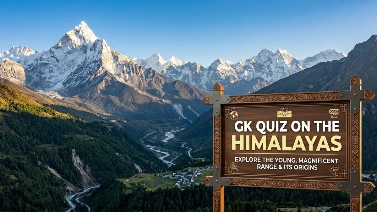
GK Quiz on the Himalayas
1. Which tectonic plates collided to form the Himalayas?
A. African Plate and Eurasian Plate
B. Indo-Australian Plate and Eurasian Plate
C. Pacific Plate and Eurasian Plate
D. Antarctic Plate and Indo-Australian Plate
Answer: B. Indo-Australian Plate and Eurasian Plate
Explanation: The Himalayas formed due to the collision between the Indo-Australian Plate and the Eurasian Plate millions of years ago. This convergence compressed sediments of the Tethys Sea and uplifted them into fold mountains.
2. The eastern extension of the Himalayas forming hills in Northeast India is called:
A. Trans-Himalayas
B. Purvanchal Hills
C. Shiwalik Hills
D. Himadri
Answer: B. Purvanchal Hills
Explanation: The Purvanchal or Eastern Hills are formed when the Himalayas bend southward near the Dihang Gorge. These include Patkai Bum, Naga Hills, Manipur Hills, and Mizo Hills.
3. Consider the following statements regarding the formation of the Himalayas:
-
The Himalayas were formed due to the collision of the Indo-Australian Plate with the Eurasian Plate.
-
The sediments of the Tethys Sea played a crucial role in the formation of the Himalayan ranges.
-
The Himalayas are volcanic mountains formed due to lava accumulation.
Which of the statements given above is/are correct?
A. 1 only
B. 1 and 2 only
C. 2 and 3 only
D. 1, 2 and 3
Answer: B. 1 and 2 only
Explanation: The Himalayas are fold mountains formed by the collision of the Indo-Australian and Eurasian plates. Sediments of the Tethys Sea were uplifted. They are not volcanic mountains.
4. Consider the following pairs:
| Peak | Himalayan Region |
| 1. Nanga Parbat | Greater Himalayas |
| 2. Kamet | Zaskar Range |
| 3. Namcha Barwa | Eastern Himalayas |
Which of the pairs given above are correctly matched?
A. 1 and 2 only
B. 2 and 3 only
C. 1 and 3 only
D. 1, 2 and 3
Answer: D. 1, 2 and 3
Explanation: Nanga Parbat lies in the Greater Himalayas, Kamet is the highest peak of the Zaskar Range, and Namcha Barwa is a major peak in the Eastern Himalayas.
5. Arrange the following Himalayan regional divisions from west to east:
-
Kumaon Himalayas
-
Assam Himalayas
-
Punjab Himalayas
-
Nepal Himalayas
Select the correct order:
A. 3 → 1 → 4 → 2
B. 1 → 3 → 4 → 2
C. 3 → 4 → 1 → 2
D. 1 → 4 → 3 → 2
Answer: A. 3 → 1 → 4 → 2
Explanation: From west to east the regional divisions are: Punjab Himalayas → Kumaon Himalayas → Nepal Himalayas → Assam Himalayas.
6. Which of the following Himalayan peaks is located near the eastern syntaxial bend of the Himalayas?
A. Nanga Parbat
B. Kanchenjunga
C. Namcha Barwa
D. Nanda Devi
Answer: C. Namcha Barwa
Explanation: Namcha Barwa lies near the eastern syntaxial bend where the Himalayas sharply turn southward after crossing the Brahmaputra River.
7. Between which two rivers, the Nepal Himalayas are extended
A. Kali River and Tista River
B. Sutlej River and Kali River
C. Tista River and Brahmaputra River
D. Indus River and Sutlej River
Answer: A. Kali River and Tista River
Explanation: The Nepal Himalayas stretch between the Kali River in the west and the Tista River in the east, containing major peaks like Mount Everest and Kanchenjunga.
8. Consider the following Assertion & Reasons
Assertion (A): The Shiwalik Hills are the youngest range of the Himalayas.
Reason (R): They are composed mainly of unconsolidated sediments deposited by Himalayan rivers.
Which of the following is Correct?
A. Both A and R are correct and R is the correct explanation
B. Both A and R are correct but R is not the correct explanation
C. A is correct but R is incorrect
D. A is incorrect but R is correct
Answer: A. Both A and R are correct and R is the correct explanation
Explanation:
The Shiwalik Hills (also called the Outer Himalayas) are the youngest mountain range of the Himalayan system. They were formed during the later stages of Himalayan uplift in the Tertiary period.
The reason statement is correct because the Shiwalik Hills are mainly made of unconsolidated sediments such as sand, clay, and gravel. These materials were deposited by rivers flowing from the higher Himalayan ranges like the Greater Himalayas and Lesser Himalayas.
Since these deposits are geologically recent and not fully compacted, the Shiwalik range formed later than other Himalayan ranges. Therefore, the composition of loose river-deposited sediments directly explains why they are the youngest Himalayan range.
Hence, both the Assertion and Reason are correct, and the Reason correctly explains the Assertion.
9. Consider the following statements about the Purvanchal Hills:
-
They extend from Arunachal Pradesh to Mizoram.
-
They form India’s border with Myanmar.
-
They consist of Patkai Bum, Naga Hills, Manipur Hills, and Mizo Hills.
Which of the above statements are correct?
A. 1 and 2 only
B. 2 and 3 only
C. 1, 2 and 3
D. 1 only
Answer: C. 1, 2 and 3
Explanation: Purvanchal Hills extend from Arunachal Pradesh to Mizoram and form the India-Myanmar boundary. Major ranges include Patkai Bum, Naga Hills, Manipur Hills, and Mizo Hills.
10. Which of the following features are associated with the Shiwalik Hills?
-
Formation of Doons and Duars
-
Youngest Himalayan range
-
Located between the Greater Himalayas and the Tibetan Plateau
Select the correct answer:
A. 1 and 2 only
B. 2 and 3 only
C. 1 and 3 only
D. 1, 2 and 3
Answer: A. 1 and 2 only
Explanation: Shiwalik Hills are the youngest Himalayan range and known for Doons and Duars formations. They lie between the Lesser Himalayas and Indo-Gangetic Plains, not near the Tibetan Plateau.


Comments
All Comments (0)
Join the conversation