Show Key Points
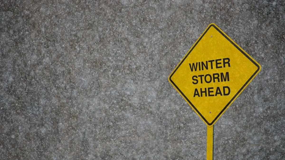
The National Weather Service (NWS) has officially issued a critical Winter Storm Watch as a powerful Pacific low-pressure system aims at the Western United States this first week of May. While much of the country embraces spring, meteorologists are tracking a high-risk weather event capable of dumping up to 48 inches of heavy, wet snow across the Sierra Nevada and the Colorado Rockies.
According to the latest NOAA reports, moisture levels are currently 90% above seasonal norms, creating a volatile environment for record-breaking late-season accumulations. With wind gusts projected to clock in at 70 MPH, officials warn that travel across major interstate corridors will become treacherous, if not impossible, as snow levels crash to 4,500 feet by Tuesday morning.
Which Regions are Under the Winter Storm Watch?
The current weather trajectory indicates a two-act storm that will first batter California before intensifying over the Continental Divide. Local NWS offices in Sacramento and Reno have escalated warnings, noting that the heaviest snowfall will occur between Monday evening and Wednesday morning.
-
Sierra Nevada: Expected totals of 2 to 4 feet above 7,000 feet.
-
Colorado Front Range: Forecasts suggest 4 to 20 inches, with localized peaks reaching higher amounts.
-
Wyoming and Montana: Up to 16 inches of snow with significant drifting due to 45 MPH gusts.
| Region | Expected Snowfall | Peak Wind Gusts |
| Donner Pass (I-80) | 36–48 Inches | 70 MPH |
| Loveland Pass (I-70) | 18–24 Inches | 55 MPH |
| Echo Summit (US-50) | 24–30 Inches | 60 MPH |
Check Out - Which are the Top 7 Snowiest Places on Earth?
How Will the Winter Storm Watch Affect Highway Travel?
State transport authorities, including Caltrans and CDOT, are bracing for significant disruptions on primary east-west routes. As the Winter Storm Watch transitions into active warnings, several mountain passes are likely to implement mandatory chain controls or full closures to prevent multi-vehicle pileups.
-
I-80 and US-50: These primary routes over the Sierra Nevada face a high probability of closure on Monday night.
-
The Traction Law: In Colorado, the Traction Law remains in effect through May 31, requiring all vehicles to have specialized winter tires or chains.
-
Visibility Concerns: The combination of thundersnow potential and high winds will likely reduce visibility to near-zero (whiteout conditions) during the storm's peak on Tuesday, May 5.
Check Out - What are the Snowiest Cities in the United States?
What are the Official Safety Recommendations?
"A Winter Storm Watch means there is at least a 50% chance of hazardous weather occurring," states the National Weather Service. Because the timing of May storms can be unpredictable, official sources urge residents to finalize emergency kits immediately.
Essential supplies should include extra food, water, and flashlights for vehicles. Furthermore, the NWS advises against backcountry travel, as the heavy weight of new May snow on a saturated base significantly increases the risk of spontaneous avalanches.
Also Read - India Dominates Global Heat Charts with 98 of 100 Hottest Cities Recorded Worldwide
As this rare May system moves eastward, the impact on Western infrastructure remains a primary concern for local authorities. Residents should monitor real-time updates from the National Weather Service and avoid high-altitude travel until the Winter Storm Watch expires on Wednesday. Stay tuned for further developments on road reopenings.


