Show Key Points
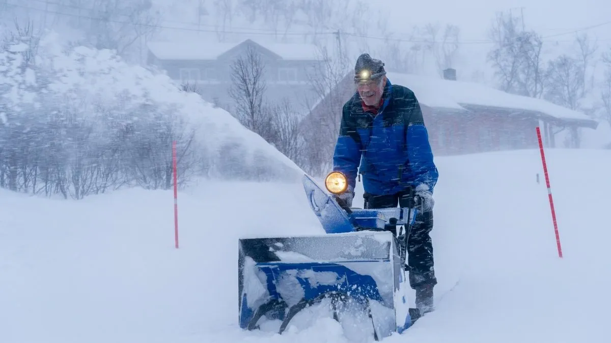
The National Weather Service (NWS) has just sent out new information that confirms that a strong snowstorm is getting worse quickly in the middle of the U.S., putting millions of lives at risk.
A critical blizzard warning has been issued for parts of the Upper Midwest as of March 12, 2026. This is because Arctic air and a deepening low-pressure system are expected to collide, bringing 8 to 14 inches of new snow.
Official reports from the NWS Twin Cities office indicate that wind gusts exceeding 60 mph will create near-zero visibility, effectively paralyzing major transit corridors. This mid-March system follows a series of volatile weather patterns, proving that winter’s grip remains firm across the northern tier of the United States.
Which States are under a Blizzard Warning or Winter Alert?
The current weather system is far-reaching, impacting the Northern Rockies before shifting its full weight toward the Great Lakes. Forecasters have identified several key regions where the combination of high winds and falling snow will make travel impossible.
-
Blizzard Warning Zones: South-central Minnesota, eastern North Dakota, and portions of South Dakota.
-
Winter Storm Warnings: Widespread across Wisconsin, Northern Michigan, and the Wyoming Rockies.
-
Winter Weather Advisories: Extending into the Ohio Valley and parts of the Northeast, including New York and Pennsylvania.
According to the Climate Impact Company, this storm parade is driven by a significant pressure gradient, which is funneling hurricane-force gusts across the plains. Residents in these areas are urged to complete emergency preparations before sunset.
Snowfall Totals and Peak Wind Gust Projections
The severity of this storm is defined by its rapid intensification, known as "bombogenesis," which will maximize snowfall rates during the overnight hours.
| Region | Projected Snowfall | Peak Wind Gusts |
| Upper Peninsula, MI | 10–12 inches | 50 mph |
| Minneapolis/St. Paul | 6–9 inches | 45 mph |
| Eastern Dakotas | 8–11 inches | 65 mph |
| High Plains (WY/MT) | 4–7 inches | 75 mph |
Official sources like NOAA’s Weather Prediction Center note that "lake-enhancement" will likely spike totals in Michigan and Wisconsin, leading to localized accumulations that could exceed a foot.
⚠️ A major winter storm is likely to bring heavy snow and strong winds from the High Plains to the Great Lakes this weekend. Expect dangerous travel conditions with 6”+ of snow and wind gusts up to 50 mph. pic.twitter.com/tjhSclv9S8
— NWS Weather Prediction Center (@NWSWPC) March 12, 2026
Check Out - Heavy Snow Warning Issued: 4 Feet of Snow and 55 MPH Winds to Slam Washington, Alaska
This powerful March system serves as a stark reminder that spring remains on hold. While the storm is expected to taper off by late Sunday, the trailing Arctic air will keep temperatures well below average through early next week. Stay tuned to local NWS broadcasts and ensure your emergency kits are fully stocked as the blizzard conditions peak tonight.


Comments
All Comments (0)
Join the conversation