Did you know that back in 1984, the then Prime Minister of India, Indira Gandhi, asked Rakesh Sharma, the first Indian astronaut to go into space, “How does India look from space?” and he replied, “Sare jahaan se acha” (meaning better than the whole world).
Story time. A long, long time ago, India was a part of a much bigger landmass called ‘Gondwana’, and Africa was its neighbour. But at some point in history, it broke away, and about 50 million years ago, it reached the landmass of Eurasia and collided with it. As India pushed into Eurasia, the land between them crumpled up and rose up. That’s how the majestic Himalayan mountains were formed!
Also, did you know that India is still pushing into Asia today, but very slowly, about five centimetres each year? This also means that the Himalayas are still growing taller, about five millimetres each year. Interesting, right?
If we had you hooked with these amazing facts, then we bet you will love to test your general knowledge about India’s geography with these 10 trivia questions with answers. Let’s see how many of these GK questions you can get right.
Trivia Questions With Answers: Are You Smarter Than A High School Student? Only 1% Pass This Indian Geography GK Quiz!

Q1. Which is the highest mountain peak in India?
- Mount Everest
- K2
- Kangchenjunga
Answer: C. Kangchenjunga
Explanation: Kangchenjunga is the highest mountain peak in India and the world's third-highest mountain. With an elevation of 8,586 meters (28,169 feet), it is situated in the eastern Himalayas on the border between India, Sikkim, and Nepal.
Q2. Which is the largest freshwater lake in India?
- Wular Lake
- Chilika Lake
- Sambhar Lake
Answer: A. Wular Lake
Explanation: The largest freshwater lake in India is Wular Lake. It is located in the Bandipora district of Jammu and Kashmir. It is also one of the largest freshwater lakes in Asia.
Q3. Which plateau is known as the Deccan Plateau?
- Malwa Plateau
- Peninsular Plateau
- Chotanagpur Plateau
Answer: Peninsular Plateau
Explanation: The Peninsular Plateau is also known as the Deccan Plateau. It is the largest plateau in southern India.
Q4. Which Indian state has the longest coastline?
- Tamil Nadu
- Andhra Pradesh
- Gujarat
Answer: C. Gujarat
Explanation: Gujarat has the longest coastline in India, stretching approximately 1,214.7 kilometres.
Q5. Which is the longest river in India?
- Godavari
- Ganga
- Brahmaputra
Answer: B. Ganga
Explanation: Ganga is the longest river in India, with a total length of 2,525 kilometres. It originates from the Gangotri Glacier in the Himalayas and passes through several states before flowing into the Bay of Bengal.
Also try: Trivia Questions With Answers: Can You Score 10/10 On This Science General Knowledge Quiz?
Q6. How many states and union territories are in India?
- 29 states and 9 union territories
- 28 states and 8 union territories
- 26 states and 7 union territories
Answer: A. 28 states and 8 union territories
Explanation: As of 2025, there are 28 states and 8 union territories, namely Delhi, Jammu and Kashmir, Andaman and Nicobar Islands, Chandigarh, Dadra and Nagar Haveli, Daman and Diu, Ladakh, Lakshadweep, and Puducherry.
Q7. Which is the oldest road in India?
- Grand Trunk Road
- Sher Shah Suri Road
- Lajpat Marg
Answer: A Grand Trunk Road
Explanation: The Grand Trunk Road (G.T. Road) is the oldest road in India. Chandragupta Maurya of the Mauryan Empire initially built it, and Sher Shah Suri later reconstructed it in the 16th century. It stretches for over 2,500 kilometres, connecting cities like Kolkata, Varanasi, Delhi, Allahabad, Amritsar, and extending to Kabul in Afghanistan. It is partially incorporated into the National Highway (NH1 and NH2).
Q8. Which is the southernmost point of India?
- Indira Point
- Kanyakumari
- Dhanushkodi
Answer: A. Indira Point
Explanation: Indira Point, located on Great Nicobar Island in the Andaman and Nicobar Islands, is the southernmost point of India. While the Indian mainland's southernmost point is Cape Comorin, also known as Kanyakumari.
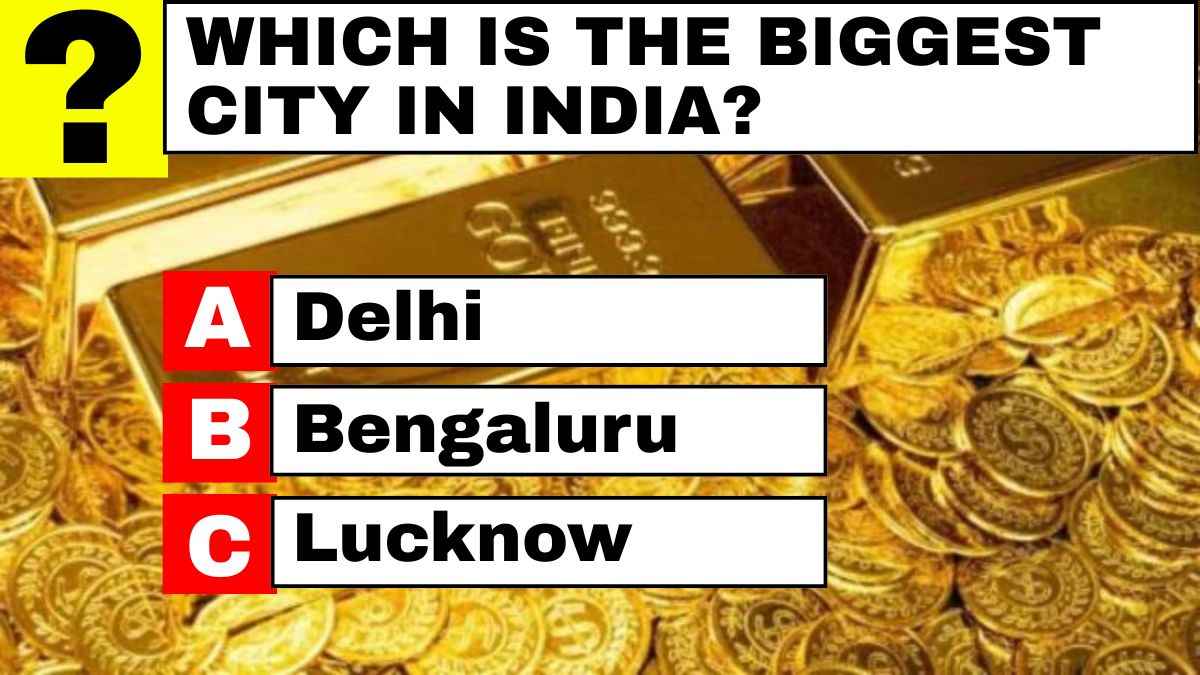
Q9. Which is the biggest city in India?
- Delhi
- Bengaluru
- Lucknow
Answer: A. Delhi
Explanation: Delhi is the biggest city in India. Spread across an area of 1,484 square kilometres, Delhi is administered by the Delhi Municipal Corporation. Delhi has been the capital of India since 1931.
Q10. The Tropic of Cancer passes through how many Indian states?
- 6
- 3
- 8
Answer: C. 8
Explanation: The Tropic of Cancer passes through 8 Indian states, namely Gujarat, Rajasthan, Madhya Pradesh, Chhattisgarh, Jharkhand, West Bengal, Tripura, and Mizoram.
Comments
All Comments (0)
Join the conversation