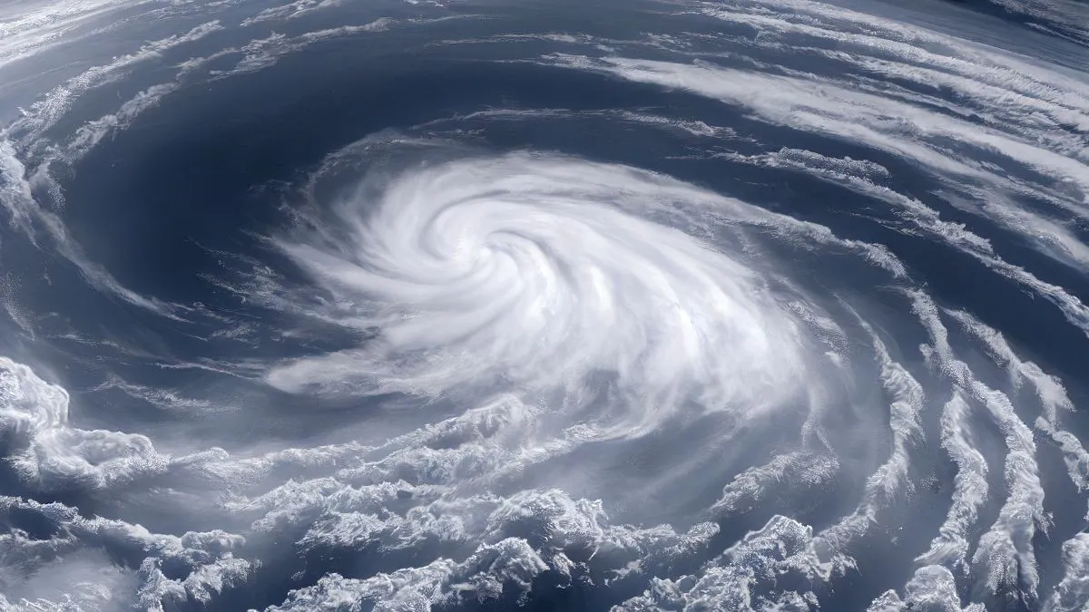
What is a bomb cyclone? Winter Storm Ezra is quickly turning into a bomb cyclone, which means that the weather in the United States is about to get very bad. The National Weather Service (NWS) says that a strong Arctic front is hitting a warm air mass that has been hanging around for a while. This is causing a process called bombogenesis.
This event will cause whiteout conditions and near-zero visibility in the Upper Midwest and Great Lakes areas. More than eight million people are under winter weather alerts as of December 29, 2025. Almost two million of them are under blizzard warnings. This isn't just a normal snowstorm; the system's central pressure is expected to drop by more than 24 millibars in 24 hours, which officially makes it a bomb cyclone storm.
What is a Bomb Cyclone and How Does it Form?
A bomb cyclone is basically a weather bomb because it gets stronger very quickly. To be called this, a storm has to go through bombogenesis, which is when the central atmospheric pressure of a midlatitude cyclone drops by at least 24 millibars in 24 hours.
How the Process Works
-
The Collision: A cold, dry Arctic air mass hits a warm, moist air mass, usually over a body of water like the Great Lakes or the Atlantic.
-
The Vacuum Effect: When the warm air rises quickly, it makes a vacuum at the surface, which makes the pressure in the atmosphere drop.
-
The Result: This sudden drop in pressure is like gasoline on a fire, which makes winds pick up speed to hurricane-force levels and rain or snow fall heavily right away.
| Feature | Standard Winter Storm | Bomb Cyclone (Winter Storm Ezra) |
| Pressure Drop | Gradual | 24+ millibars in 24 hours |
| Wind Speeds | 20–40 mph | 50–70+ mph (Gusts) |
| Intensity | Moderate Snow | Blizzard / Whiteout Conditions |
| Forecasting | Predictable days in advance | Can explode within hours |
Also Read - America's Hurricane History: List of the Most Impactful Storms
What is the Bomb Cyclone Weather Forecast 2025?
The bomb cyclone 2025 forecast indicates a massive reach, stretching from the Northern Rockies through the Northeast. NWS lead forecaster Bob Oravec warned that the circulation of this system is so large that it will impact states as far south as Texas with a Blue Norther temperature plunge.
Key Impact Zones and Expectations
-
Upper Midwest and Great Lakes: Regions like Minnesota, Wisconsin, and Michigan’s Upper Peninsula are the bullseye. Forecasts predict 12 to 24 inches of snow along the south shore of Lake Superior.
-
The Northeast: While cities like New York and Philadelphia may see a wintry mix or rain, interior New York and New England are bracing for significant icing and freezing rain that could paralyze power grids.
-
The South: A dramatic temperature swing is expected; Dallas, Texas, could see highs drop from the 80s into the 40s in a single day as the Arctic front pushes through.
Updated key messages this afternoon for the Late December Blizzard. pic.twitter.com/6JyYOpWaNC
— NWS Weather Prediction Center (@NWSWPC) December 28, 2025
Safety Precautions during a Bomb Cyclone Winter Storm
With the NWS reporting that travel will be perilous to impossible in warned areas, authorities are urging citizens to hunker down. Official sources emphasize that the greatest danger often lies in the wind chill and the speed of the storm's arrival.
-
High winds exceeding 60 mph can easily down trees and power lines. So, try to secure your property.
-
Make sure you have enough food, water, and medicine for at least three days. Power outages during bomb cyclones can last longer because repairs are dangerous.
-
Stay off the roads if you are in a blizzard warning area. When it's whiteout, you can't see anything for a few seconds.
Learn about - What are the Snowiest Cities in the United States?
As Winter Storm Ezra continues its northeastward trajectory, the scale of this bomb cyclone serves as a stark reminder of the atmosphere’s raw power. With record-breaking daily snowfall already reported in parts of the Midwest, residents should prioritize safety and stay tuned to local NWS updates as the system reaches its peak intensity through Tuesday.


Comments
All Comments (0)
Join the conversation