Show Key Points
The National Weather Service (NWS) has intensified its alerts, placing Louisville and portions of Middle Tennessee under an urgent tornado warning as a volatile cold front sweeps across the Eastern United States.
Following a weekend of extreme weather that left at least one confirmed fatality and hundreds of thousands in the dark, the Storm Prediction Center has upgraded the risk for the Mid-Atlantic and Southeast.
As of Monday morning, March 16, 2026, widespread power outages have climbed past 290,000 across six states, with Kentucky’s Muhlenberg County and Tennessee’s Nashville region reporting the highest concentrations of utility failures.
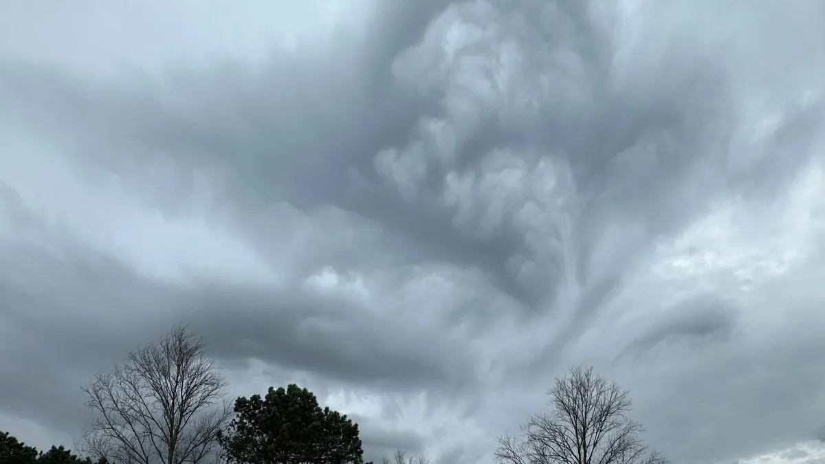
Meteorologists warn that the leading edge of this system is capable of producing "embedded spin-up tornadoes" and destructive straight-line winds exceeding 80 mph.
What are the Current Tornado Warning and Watch Areas?
The NWS Louisville office confirmed that the primary threat has transitioned from a broad watch to specific tornado warnings for counties along the I-65 corridor. The Kuntuckiana region remains on high alert as the squall line moves east-northeast.
-
Active Watch: A Tornado Watch remains in effect for Central Kentucky and Southern Indiana until at least 3:00 AM EDT.
-
Primary Risks: Widespread damaging winds, isolated significant gusts up to 80 mph, and large hail.
-
Impact Zones: Louisville (Jefferson County), Bowling Green, and parts of Southern Indiana, including Lafayette.
Check Out - Heavy Snow Warning Issued: 4 Feet of Snow and 55 MPH Winds to Slam Washington, Alaska
Tracking Power Outages and Damage Reports
The storm's intensity has already caused significant infrastructure damage. According to PowerOutage.us, utility crews are struggling to restore services as the cold front brings a secondary threat of plunging temperatures.
| State under Tornado Warning | Estimated Outages | Hardest Hit Areas |
| 11,000+ | Muhlenberg, Butler, Christian Counties | |
| 60,000+ | Nashville, Davidson County, Middle TN | |
| Mid-Atlantic | 210,000+ | Pennsylvania, Maryland, Arkansas |
Safety Measures and Official Advice
The National Weather Service Paducah office emphasizes that when a tornado warning is issued, lead time is often less than 15 minutes.
"Get down to the lowest level," advised Justin Gibbs, lead forecaster. "Stay away from windows and avoid seeking shelter in vehicles, which can be easily displaced by 70 mph gusts."
Official sources recommend having multiple ways to receive alerts, as power failures may disable local sirens and Wi-Fi-dependent devices.
As the line of strong storms moves closer to our area, the Tornado Watch has been expanded to cover much of far northwest Georgia and will remain in effect until 6 AM EDT. pic.twitter.com/RxTaU8mbzl
— NWS Atlanta (@NWSAtlanta) March 16, 2026
Check Out - Massive Snow Storm Forecast Triggers Blizzard Warning for Midwest; Up to 12 Inches Expected
As the storm complex moves into the Carolinas and Mid-Atlantic, the threat of severe weather remains high through Monday afternoon. Residents should prepare for a sharp temperature drop following the front, with wind chills expected to dip into the single digits. Stay tuned to NWS updates and local emergency broadcasts for real-time safety instructions.


Comments
All Comments (0)
Join the conversation