Show Key Points
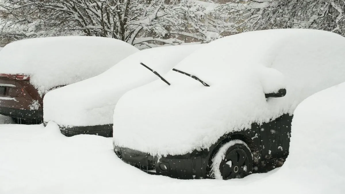
As meteorological spring attempts to gain a foothold, a potent late-season arctic system has triggered a massive heavy snow warning across the Pacific Northwest and Alaska. The National Weather Service (NWS) confirmed on Monday, March 9, 2026, that a series of moisture-rich Pacific storms is set to collide with a lingering cold air mass, threatening to dump more than 4 feet of snow in the Olympic and Cascade Mountains.
While lower elevations prepare for a rain-snow mix, the high-altitude corridors face a First Alert weather event. Officials warn that the combination of rapid accumulation and 55 mph wind gusts will likely paralyze mountain passes and disrupt interstate logistics through midweek.
Where is the heavy snow warning in effect?
The current weather alerts cover a vast geographical range, with the most severe impacts concentrated in the mountainous regions of the West and the southeastern panhandle of Alaska. According to the latest NWS bulletins, the following areas are under active surveillance:
-
Washington State: The Cascades (Whatcom, Skagit, Snohomish, and northern King Counties) and the Olympic Mountains are the primary targets for extreme accumulation.
-
Alaska: Southeast regions, including Juneau, Glacier Bay, and the Lisianski Strait, are bracing for snowfall rates of 1 inch per hour.
-
Montana: High-elevation terrain and northern plains are seeing renewed alerts as the system tracks eastward.
| Region | Expected Snowfall | Peak Wind Gusts | Warning Duration |
| WA Cascades | 36 – 48+ inches | Up to 55 mph | Through March 11 |
| SE Alaska | 8 – 12 inches | 45 – 60 mph | Active Now |
| MT Mountains | 6 – 10 inches | 40 mph | Through Tuesday |
An updated Day 3-7 Hazards Outlook has been issued. https://t.co/VBxTZCp4sE pic.twitter.com/dPjKYtV5Ww
— NWS Weather Prediction Center (@NWSWPC) March 8, 2026
How will this winter storm impact travel and safety?
The NWS Seattle office has been blunt in its assessment: "Travel will be treacherous." The heavy snow warning isn't just about the volume of white stuff; it’s about the dangerous whiteout conditions created when 55 mph winds whip fresh powder across highways.
Critical Safety Hazards against Snowstorm
-
Zero Visibility: Blowing snow in the mountain passes can reduce visibility to near zero in seconds.
-
Power Disruptions: The weight of wet, heavy snow combined with high winds poses a significant risk to power lines and tree branches.
-
Avalanche Risk: Rapid accumulation of over 3 feet of snow significantly increases the danger for backcountry travelers.
State authorities are strongly advising motorists to carry emergency kits, including blankets, water, and tire chains, if travel through high-elevation corridors like Stevens Pass or Snoqualmie Pass is unavoidable. "Monitor forecasts if you're traveling over the Passes," the NWS added in a recent social media update.
Check Out - Seasons of the Year in the United States: What Season is It in the US Now?
While much of the central U.S. prepares for a spring-like warmup, this heavy snow warning serves as a stark reminder that winter’s grip remains firm on the West. Residents are urged to secure their properties and avoid high-altitude travel until conditions improve late Wednesday. Always check the latest National Weather Service updates for real-time changes to local alerts.


Comments
All Comments (0)
Join the conversation