Show Key Points
The National Weather Service (NWS) has officially raised weather alerts to a Freeze Warning for Monday and Tuesday, April 20 and 21, 2026, as Pennsylvania gardeners and farmers deal with an unusually unstable spring. This sudden change in the weather comes after a time of mild warmth.
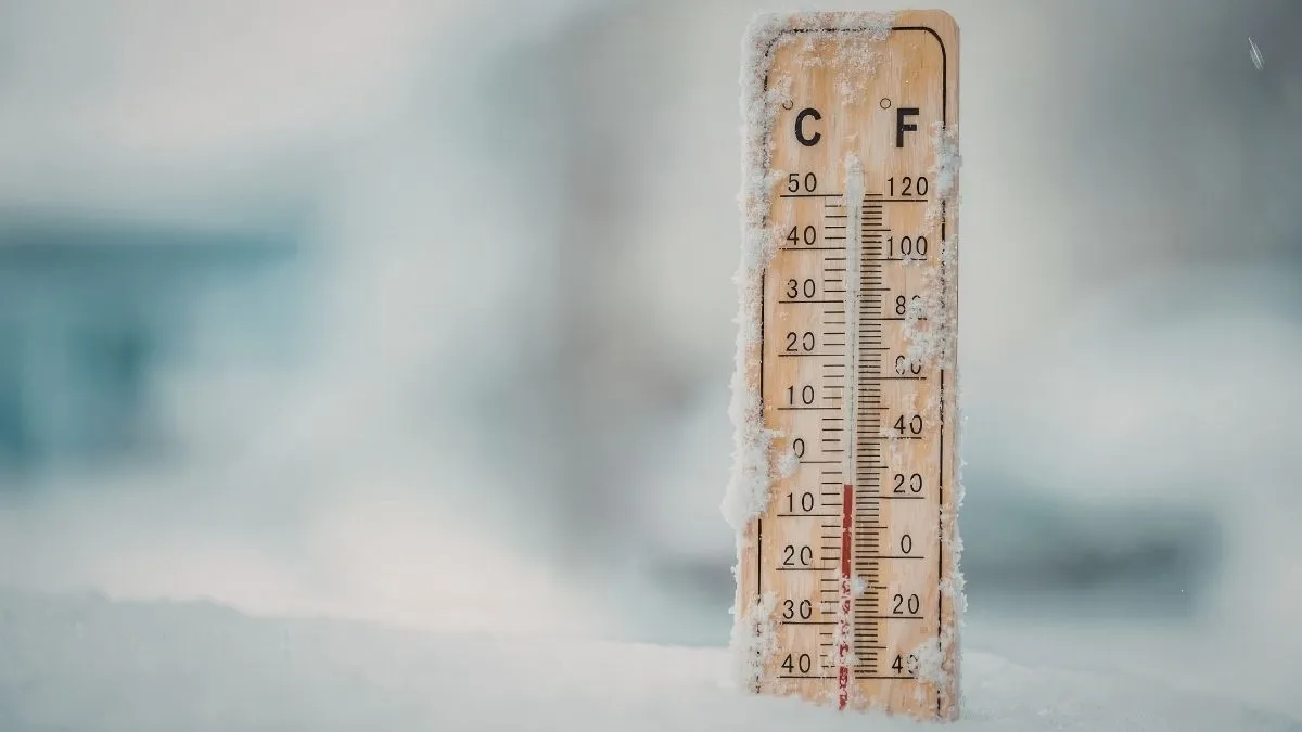
Now, a sharp cold front is expected to drop the temperature to 26 degrees Fahrenheit across the Susquehanna Valley and Southeast regions. Meteorologists from the NWS State College and Mount Holly offices emphasize that this isn't just a light frost; the sub-freezing temperatures arriving between midnight and 9:00 a.m.
Tuesday poses a severe risk to blooming crops and sensitive vegetation. With topsoil moisture already under stress in many areas, this hard freeze could lead to significant agricultural losses if preventive measures are not taken immediately.
Which Regions are under the Freeze Warning?
The current alerts encompass a wide swath of the state, shifting from the western counties into the more populated southeastern corridors. The following areas are under active notification:
| Region under Freeze Warning | Primary Counties Affected | Temperature Forecast | Duration |
| Southeast PA | Philadelphia, Montgomery, Bucks, Chester | 28°F – 32°F | Tues 12 AM - 9 AM |
| Central PA | Dauphin, Lancaster, Lebanon, York | 26°F – 30°F | Tues 12 AM - 9 AM |
| North-Central PA | Lycoming, Clinton, Sullivan | 24°F – 27°F | Until Monday morning |
Official NWS meteorologist Jason Frazier noted that while late April freezes are statistically within the norm, with Pittsburgh’s average last freeze date being April 22, the recent warm spell has accelerated plant growth, making this particular cold snap exceptionally dangerous for local flora.
Also Read - Wisconsin Flood Warning Triggers Major Highway Closures and Emergency Rescues in Milwaukee
How to Stay Safe During a Freeze Warning?
With temperatures expected to stay below the freezing mark for several hours, proactive steps are essential to mitigate property and crop damage.
Cover Sensitive Plants: Use burlap, old blankets, or landscape fabric to insulate outdoor vegetation. Avoid using plastic, as it can trap moisture and cause more harm to the foliage.
Hydrate Your Soil: Wet soil absorbs more solar radiation during the day and releases heat slowly at night, providing a slight temperature buffer for roots.
Protect Outdoor Plumbing: NWS officials suggest emptying garden hoses and insulating any exposed outdoor faucets. While the short duration of this freeze is unlikely to burst deep-set pipes, surface-level fixtures remain vulnerable.
Bring Pets Indoors: Ensure all outdoor animals have access to a warm, insulated shelter or bring them inside as the temperature drops into the mid-20s.
Why is the April 2026 Freeze Occurring Now?
A strong high-pressure system is building behind a cold front that is moving away. This is causing this weather event. The Average Low for this time of year is usually around 42 degrees, but the current northwest wind flow is bringing air from the Arctic to the Mid-Atlantic.
Historical data show that Pennsylvania has seen freezes as late as May 24 (1956), prompting the common Mother’s Day rule for planting. However, experts warn that the 2026 season has seen earlier-than-usual budding, which increases the likelihood of frost burn on fruit trees and decorative perennials.
🥶Brisk & unseasonably cold today 10-20° below avg
— NWS State College (@NWSStateCollege) April 20, 2026
💽Record low temperatures possible tonight-AM Tue
🥀Frost/freeze conditions could damage vegetation pic.twitter.com/ZmLCekK6VC
Check Out - Huge Hail Storms Batter Central U.S. as 51 Million Face Tornado Threat
This Freeze Warning serves as a critical reminder that spring in Pennsylvania is rarely a steady climb into summer. Residents are urged to finalize their preparations before sundown on Monday evening. As the high-pressure system shifts eastward by Wednesday, a significant warming trend is expected to follow, with temperatures potentially rebounding into the 70s by the weekend. For now, staying weather-aware and protecting vulnerable assets is the priority for all Pennsylvanians.


-1776596528407_t.webp)