Key Points
- Continental U.S. center (48 states) is near Lebanon, Kansas, established in 1918.
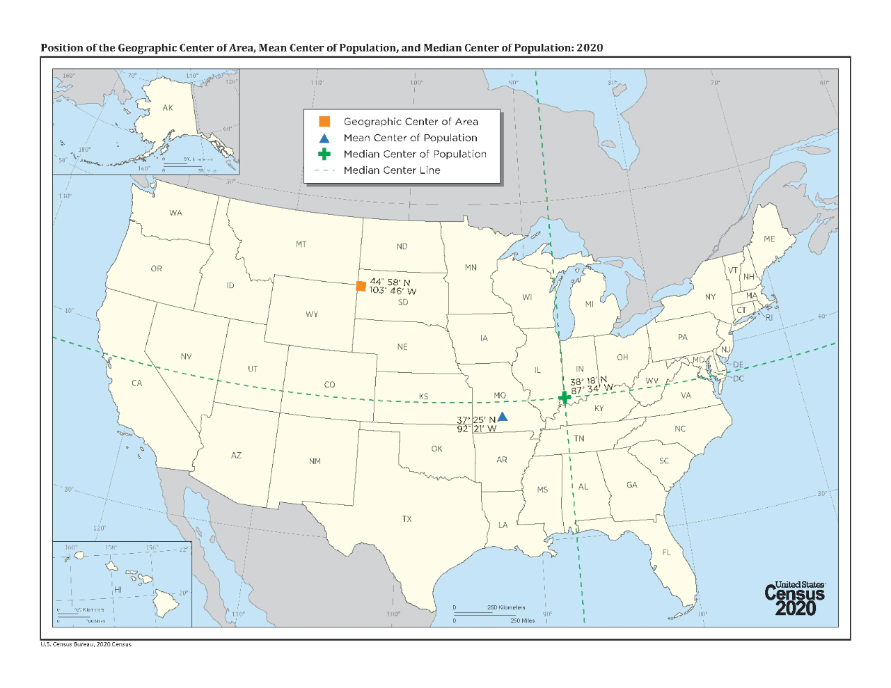
- All 50 states' center is near Belle Fourche, South Dakota, determined by US survey.
- Markers in both locations attract visitors interested in U.S. geography.
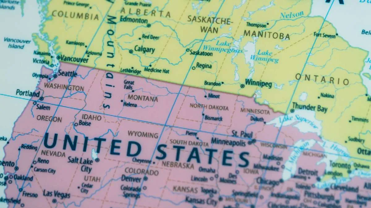
The U.S.A. is a very large nation measured from the Atlantic Ocean to the Pacific Ocean and from the Canadian border to the Gulf of Mexico.
The physical land area, size and diverse geography has captivated explorers, geographic and travelers since ancient times. As it pertains to geographic location many folks want to know the answer to what is considered the geographic center of the U.S.
To arrive at this point, you must calculate the boundaries, shape and size of the U.S.A. Determining the location of the geographic center will give one better perspective on the size and diversity of its geographic environment. This area will be of great interest to anyone studying the U.S.A. because it is unique.
Check Out: Seahawks vs Patriots: Who won the Super Bowl 2026?
What is the Geographic Center of the U.S.?
Source: Wikipedia
The “geographic center” of the continental U.S., or the lower 48 states, is located in north-central Kansas, one mile east of Lebanon. Its exact position is approximately 39 degrees 50 minutes north latitude and 98 degrees 35 minutes west longitude, which places it approximately 2.6. miles northwest of town.
This point of balance was established by the U.S. Coast and Geodetic Survey in 1918. Officials measured the balance point using a cardboard cut-out of the continental U.S. map to find the place on which to balance the map, then determined this to be the midpoint of the continental U.S.
A small stone pyramid-coned monument now marks this location as the Geographic Center of the Continental mainland of the U.S. Since its discovery, this site has become an attraction for visitors interested in American geography and landmarks.
What is the Geographic Center of the U.S.?
All fifty states, including Hawaii and Alaska, make Butte County, South Dakota the continental United States geographic center near Belle Fourche, along route US 85 heading north toward Belle Fourche, by GPS figure as 44 degrees 58 minutes north latitude and 103 degrees 46 minutes west longitude, based on an award-winning survey conducted by the US Coast and Geodetic Survey.
After determining land mass balance of countries landmass of the whole country evenly distributed over the continental U.S., thus representing the center-point in relation to weight distribution across America.
As a result of this measurement, a geographical marker has been constructed within approximately 20 miles of Belle Fourche and marker has been erected within Belle Fourche city boundaries, drawing a lot of people to location who are interested in geographical uniqueness and trivia about America's land features such as this one.
Conclusion
Located in South Dakota, the geographic center of all 50 US states emphasizes the immense size and distinct shape of the US. This landmark signifies a central point on the ground for the entire country, and many people are interested in visiting it to learn more about the geography and monuments of the United States.


-in-the-United-States-1770627207099.jpg)
Comments
All Comments (0)
Join the conversation